
To anticipate health-related scenarios, space has become a powerful tool for prevention.
Epidemic outbreaks pose a serious risk to populations, especially in rural or isolated communities, where they can be detected—but often too late. The lack of healthcare infrastructure and early warning systems are key factors that hinder timely responses.
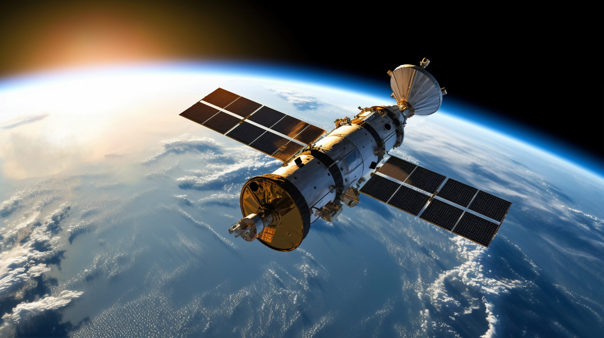
In the search for ways to address situations that endanger human health, a new generation of satellites and geospatial analysis technologies is reshaping how diseases can be prevented. What once required weeks of observation can now be anticipated from space in a fraction of the time.
Behind this silent revolution lies a paradigm shift: public health no longer depends solely on governments or large research centers. It is increasingly driven by technology companies, universities, and philanthropic foundations that use satellite data to design predictive maps capable of detecting—days or even weeks in advance—conditions that could lead to epidemic outbreaks.
Health Monitored from Space: A Tool to Prevent Crises
A new model of “surveillance” could mark a turning point in how health care is understood in connection with technology. Satellites do not “see” diseases; rather, they have the capacity to read the patterns that precede them.
Through advanced analytics, these devices can detect changes in temperature, humidity, vegetation cover, and concentrations of stagnant water—indicators that, when combined with epidemiological models and local health data, help estimate the risk of disease vectors such as mosquitoes, rats, or waterborne bacteria.
Organizations like NASA, the European Space Agency (ESA), and companies specializing in geospatial intelligence are collaborating with NGOs and universities to apply this information in regions where it is most needed.
The SERVIR program is one example, aiming to use satellite technology to help developing countries monitor environmental and health threats.
In parts of Africa and Latin America, SERVIR has successfully anticipated the proliferation of the Aedes aegypti mosquito, which transmits dengue, Zika, and chikungunya. By combining satellite imagery with meteorological data, scientists can produce risk maps that alert health authorities and communities before cases multiply.
In Latin America, the use of satellites for public health purposes is growing through partnerships among universities, tech startups, and international organizations.
In Brazil, the National Institute for Space Research (INPE) uses satellite data to monitor regions prone to yellow fever and malaria outbreaks. In Peru, a collaboration between the National University of San Marcos and the ESA helps identify communities at risk of waterborne diseases following floods.
One of the most innovative developments comes from the organization PATH, which designed an early warning system that combines satellite imagery with epidemiological information and social media data.
Using this system, health authorities were able to detect malaria spikes in Uganda and cholera outbreaks in Bangladesh up to two weeks in advance, enabling medical teams to take action before the diseases spread.
For vulnerable communities, these tools represent both major technological progress and a crucial approach to addressing structural health inequality. In areas lacking nearby hospitals or laboratories, a predictive map can mean the difference between an early response and a health crisis.
Moreover, such tools enable more efficient resource management: identifying regions most at risk helps direct vaccines, medical equipment, and prevention campaigns precisely where they are needed.
A key factor in this transformation is data accessibility. Many space agencies and private organizations have chosen to release portions of their satellite information, allowing researchers, NGOs, and local entrepreneurs to use it in public health projects.
This democratization of information is driving a new generation of social innovators, taking meaningful steps toward addressing health challenges.
Today, satellite technology provides tools to design strategies for potential crises. Every image captured from space contains clues about the next outbreak—but the key lies in interpreting that information on time and turning it into action.
The most impactful advances are emerging from collaboration among scientists, foundations, technologists, and local communities who understand that public health must be approached as an integrated system.